A photography blog that focus on Pakistan natural beauty, people, culture heritage, customs and traditions, historical places, travel destinations, wildlife: flora and fauna.
Showing posts with label Landscapes. Show all posts
Showing posts with label Landscapes. Show all posts
Swat Pakistan
The Swat (سوات), which because of its natural beauty is called the Switzerland of Pakistan, is a valley and a district in the Khyber Pakhtunkhwa, Pakistan. It is the upper valley of the Swat River, which rises in the Hindu Kush range. The capital of Swat is Saidu Sharif, but the main town in the Swat valley is Mingora. It was a princely state in Khyber Pakhtunkhwa until it was dissolved in 1969. The valley is almost entirely populated by ethnic Pashtuns. The language spoken in the valley is Pashto. Swat is famous for its beautiful high mountains, green meadows, water falls, lakes and River Swat, which is famous for its abundant trout fish.
Swat Pakistan
Posted by
Birdy Official
Labels:
Landscapes,
Pakhtunkhwa,
Pakistan,
Swat,
Travel destinations

 3 comments:
Ghurghushto Buner
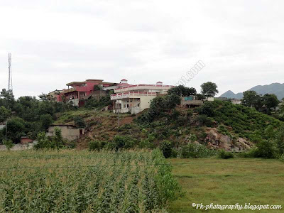
Ghurghushto (غورغشتو) is a beautiful village and one of the 26 union council of Buner District in the Khyber Pakhtunkhwa province of Pakistan. It is about 45 km from daggar the district head quarter of district buner and about 19 km from Swabi city. The People of Ghurghushto are highly hospitable, decent, cultured and civilized. Ghurghushto bazar is a main market not only for the nearby villages but also for the people of swabi. Ghurghushto is also famous for sikh cummunity who reside there.
Ghurghushto Buner
Azad Jammu and Kashmir Pakistan
The State of Azad Jammu and Kashmir lies between longitude 730 – 750 and latitude 330 – 360 and comprises an area of 5134 square miles (13,297 square kilometres). The topography of the area is mainly hilly and mountainous with valleys and stretches of plains. The area is full of natural beauty with thick forest, fast flowing rivers and winding streams. Main rivers are Jehlum, Neelum and Poonch. The climate is sub-tropical highland type with an average yearly rainfall of 1300 mm. The elevation ranges from 360 meters in the South to 6325 meters in the North. According to the 1998 population census, the State of Azad Jammu & Kashmir had a population of 2.973, which estimated to have grown to 3.4 million in 2004. Almost 100% population is Muslim. The rural to urban ratio is 88:12. The population density is 258 persons per Sq Km. The literacy rate have increased from 55% to 60% after 1998 census. Infant mortality rate is approximately 56 per 1000 live births, where as the immunization rate for the children less than 5 years of age is more than 88%.
The majority of the rural population depends on forestry, livestock and agriculture for its subsistence. Average per capita income is estimated to range from 600 -5,000 US$. Un-employment rate is from 35 to 50%. In line with the national trends, indicators of social sector improvement, particularly health and population welfare have not shown much proficiency. Efforts have been made during the recent past to make up this deficiency, which will bring the fruits of development to the common man. The area under cultivation is around 166,432 hectares (almost 13% of the total area), out of which 92% of the cultivable area is rain-fed.
About 845 households have very small land-holdings between one to two acres per family. According to the agricultural census of 1990, the average farm size is only 1.2 hectares. The major crops are Maize, Wheat & Rice whereas minor crops include vegetables, grams, pulses (Red lobia) and oil-seeds. Major fruits are Apple, Pears, Apricot and Walnuts. Income through household earnings ranges between 30-40% while remaining share comes from other sources including employment and business etc. Reduced agriculture productivity has adversely affected the traditional lifestyle and average per capita income of the rural household. About 42% of the total Geographical area (0.6 million hectares approximately) is controlled by the Forest Department. The per capita standing volume and area are 400 cft and 0.2 hectares respectively. Annual wood demand is 1.65 million cubic meters and sustainable production is 0.7 million cubic meters.
Azad Kashmir Pakistan
 |
| Azad Kashmir |
 |
| Azad Kashmir |
 |
| Azad Kashmir |
 |
| Azad Kashmir |
 |
| Azad Kashmir |
 |
| Azad Kashmir |
 |
| View Of A Mosque at Azad Kashmir |
The Bridge Separating Kashmir from Rawalpindi
Source of information: ajk.gov.pk
Mountain Landscapes
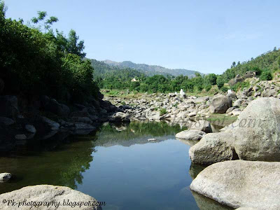
Pakistan though is a small, but geographically diverse country. If on one side, it has the deserts like Thar and Cholistan, then on the other side, it has lush green valleys of northern areas. The northern areas of Pakistan are blessed with natural beauty. It has some of the worlds most wonderful and amazing valleys, lakes, rivers and peaks. The streams, water falls and thick forests of fine trees have their own beauty.
Mountain Landscapes
Posted by
Birdy Official
Labels:
Landscapes,
Mountain landscapes,
Nature Pakistan,
Pakistan

 6 comments:
Kohi Barmol Katlang Mardan
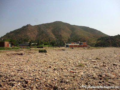
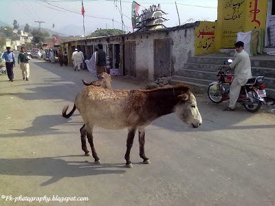
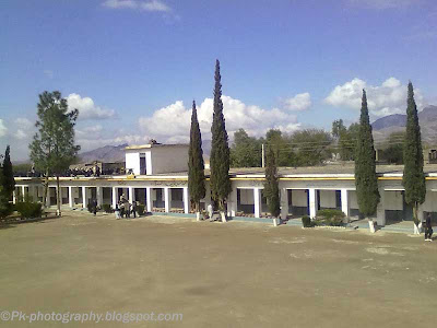
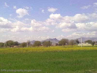
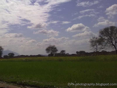
Kohi Barmol is my new duty place, where I joined my duty at Government Higher Secondary School Kohi Barmol. Kohi Barmol is a backward, but historical village situated at tehsil Katlang, district Mardan of KPK, Pakistan. It's about 35 km to east-north of Mardan.city and about 12 km from Katlang city. Though it's just 12 km away from Katlang city, however it takes about an hour in public transport to reach Kohi Barmol. I will try to explore and document the important historical and archeological sites of the area in coming days, but for now I'm sharing a few landscapes of Kohi Barmol.
Government Higher Secondary School Kohi Barmol (Mardan)
Subscribe to:
Posts (Atom)


